
We worked through the summer to keep you moving this fall (and beyond!)
Blog stats: 1,600 words | 8-minute read
This summer was a busy, record-setting time for Seattle’s transportation system, including six FIFA World Cup matches with hundreds of thousands of visitors from around the world, alongside many exciting seasonal celebrations, concerts, and other events. We also saw new all-time highs for light rail boardings and bike/scooter share ridership!
And despite a month-long construction pause during the World Cup, we continued delivering large and small projects to help keep you moving, safely and reliably. We’d like to share a quick roundup of work completed or making tangible progress as we all head into our fall travel routines. We hope you enjoy reading.
Jump to:
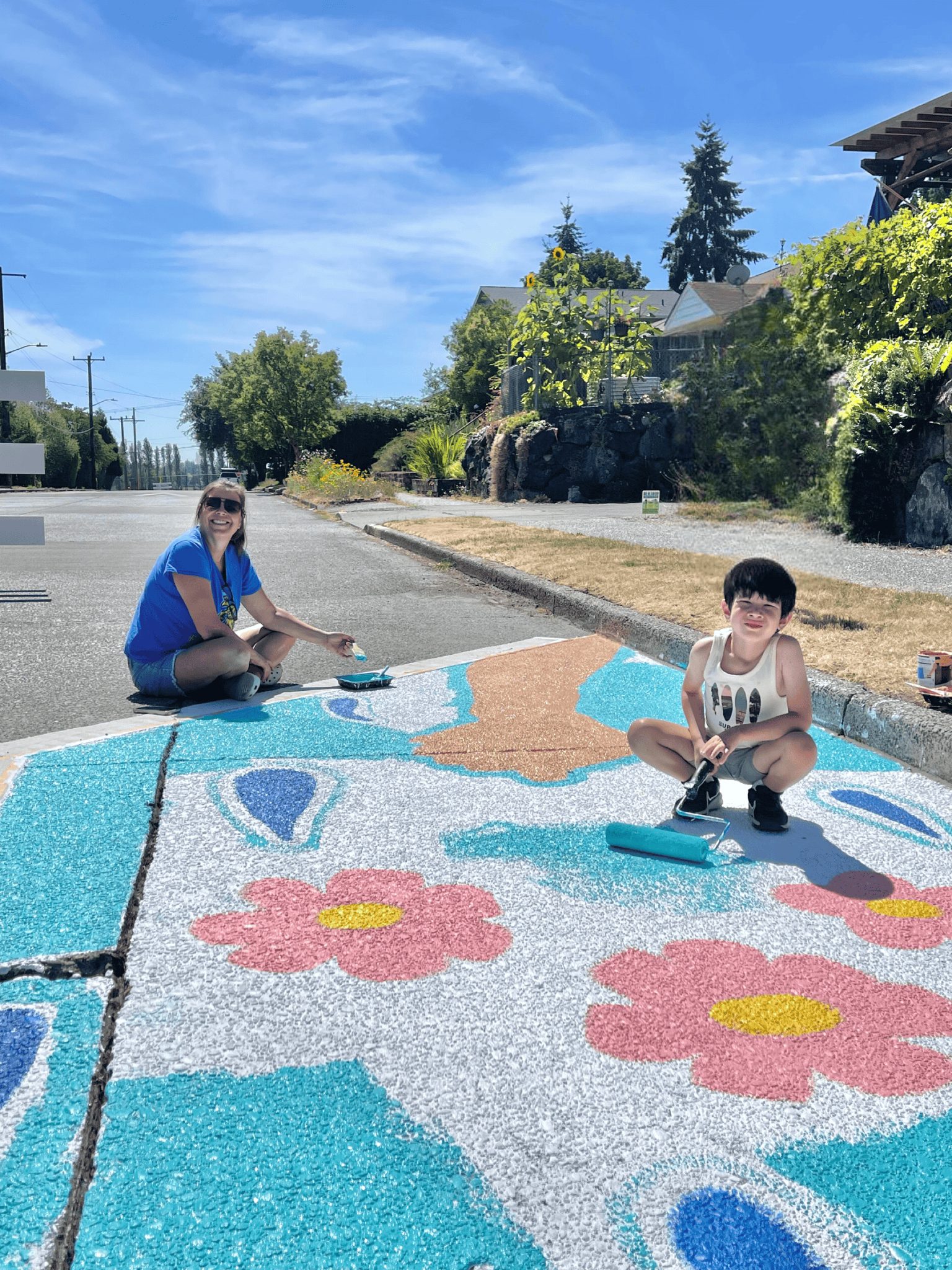
Safer Walking and Rolling Near Schools
Supporting students as they head to school is as important as it gets, and that’s why we’ve delivered more upgrades near schools across the city. Did you know that about a third of Seattle’s K-5 students walk, roll, or bike to school? Find out more about these recent upgrades, what’s next, and how you can get involved in our recent blog post.
More Comfortable Sidewalks and Pedestrian Spaces
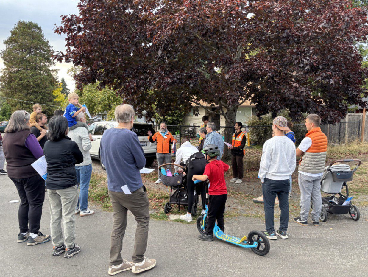
Sidewalks are vital connections for people of all ages and abilities, and we’re accelerating work to deliver hundreds more blocks of new sidewalks and walkways in Seattle with funding from the voter-approved Seattle Transportation Levy.
In 2025, we hosted a series of 10 “walkshops” with community members in different neighborhoods, and we’re now moving forward with planning and design work as this effort continues to ramp up.
We’re also building more sidewalks right now with a bevy of projects already in construction, including along Greenwood Ave N, and in the Pinehurst neighborhood, near the soon-to-open Link light rail station.
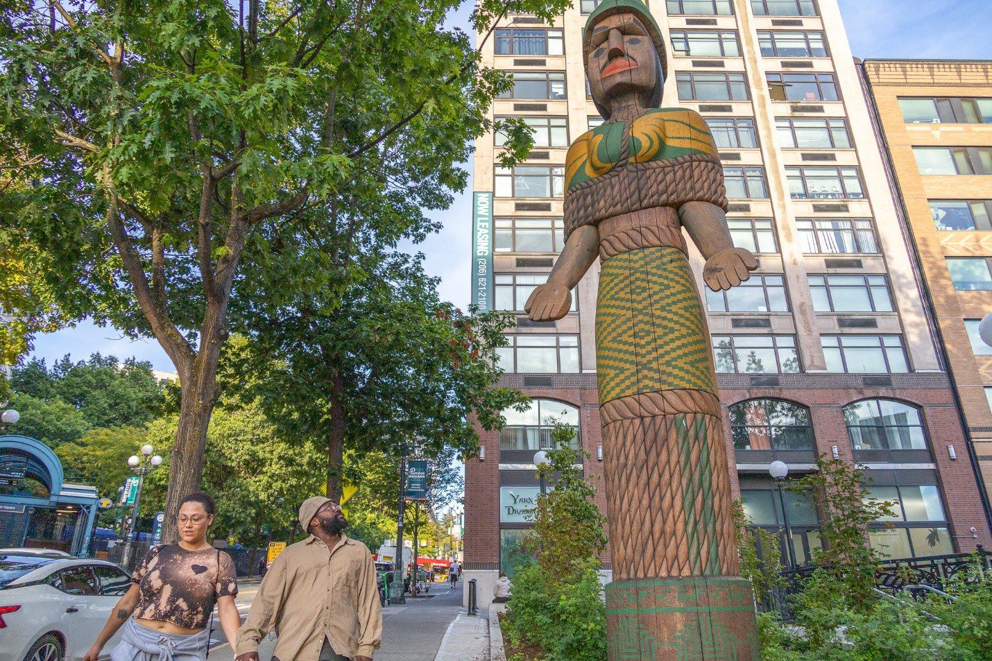
That’s not all that’s happening. We’ve scaled up the new People Streets and Public Spaces capital program, which is funded by the Seattle Transportation Levy. This program is helping transform public spaces into more inviting and positive places for people to gather, connect, and build community. Projects strengthen connections for people walking, rolling, biking, and taking transit, and we work closely with local communities to make these neighborhood spaces more active and inviting.
From the recently redeveloped Fortson Square in Pioneer Square to pickleball courts at 5th Ave and Taylor Ave in Belltown and Detective Cookie Chess Park in Rainier Beach, our projects are transforming our city’s vibrant mix of neighborhoods. Other examples include Portal Porch Belltown and NE 43rd St in the University District. And there’s more exciting work ahead – stay tuned for updates later this year and beyond showing how people are enjoying these spaces as they continue to come to life.
Bike Lane Upgrades and New Connections
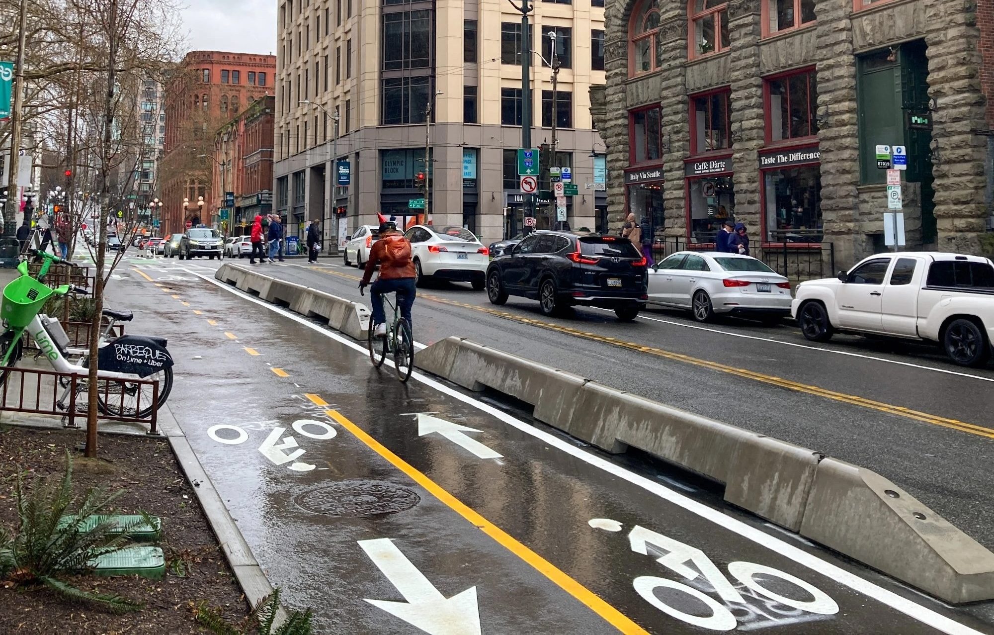
Building on the momentum from our 2025 “Hot Bike Summer,” we’ve continued to open new bike connections and routes in our city’s growing bike network. One recent highlight is along Yesler Way in Pioneer Square, where a new two-block connection of protected bike lanes was completed, helping close a previous gap in this area. We also completed the Belltown to Seattle Center Connection Project, joining together existing bike routes right in front of the iconic Space Needle.
Earlier this year, the bike trail north of the Seattle Waterfront got a full refresh through the privately funded Elliott Bay Connections Project, which is now open to the public. Keep following us as more projects progress with funding from the Seattle Transportation Levy, including your Better Bike Lanes Program to add more concrete buffers to help protect people biking from nearby traffic.
Transit Reliability Boost
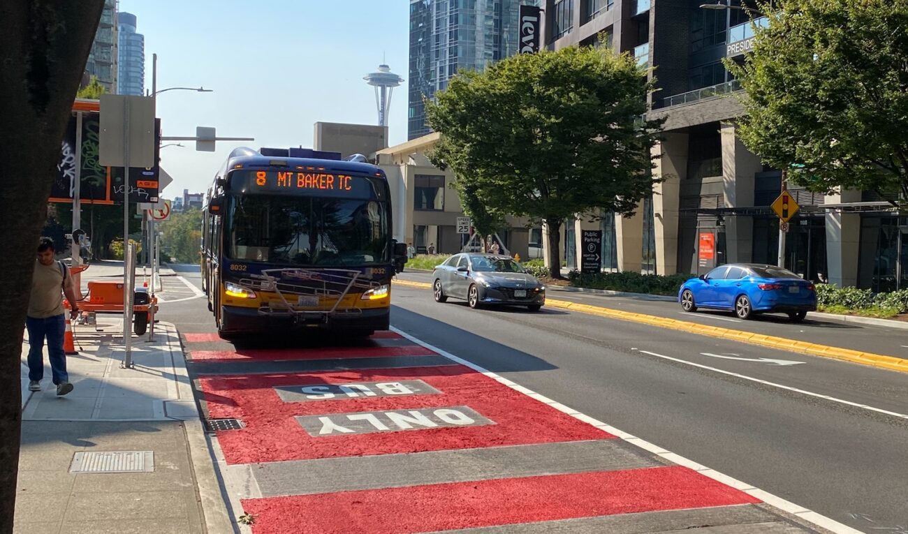
This summer, we added new bus lanes on Denny Way and funded more trips on Route 8 to support riders as part of King County Metro’s recent August 29 service change.
We also built more projects around Pinehurst to help people get to the new light rail station opening on September 30, while investing in bus routes 72, 75, and 77 to provide more frequent mid-day bus service for north Seattle communities. Get the details in our recent blog post.
This work is funded by the voter-approved 2020 Seattle Transit Measure and the Seattle Transportation Levy.
Smoother Streets: Paving Projects and Maintenance
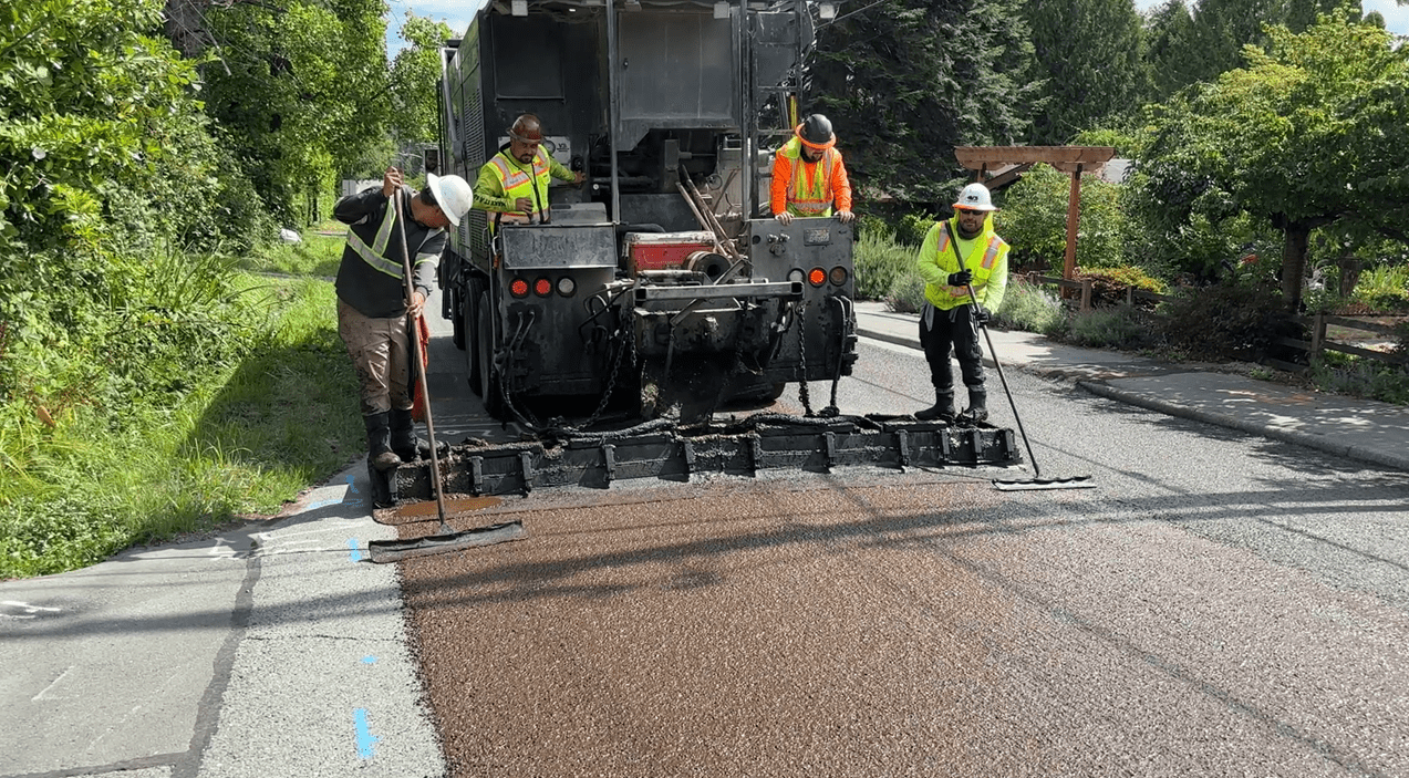
Keeping our streets smooth takes a mix of efforts, from crews filling potholes every day to larger repaving projects to our annual slurry seal treatment which extends the life of existing pavement for years to come across different neighborhoods each summer (this year’s slurry seal work focused on north Seattle, in the Haller Lake area).
In recent months, we repaved sections of NE 125th St in Lake City/Pinehurst and a part of SW Barton St near Roxhill Park/Westwood Village, as well as spot paving on Greenwood Ave N via our capital project construction.
We also repaved streets across the city as part of our SDOT crew-delivered work. Our crews typically pave around 6 to 7 lane miles of city streets each year and repair around 50 spot locations per year.
Some top examples from this past summer’s work include:
- Sand Point Way NE between NE 65th St & NE 74th St, where crews replaced approximately 70 large concrete street panels
- S Cloverdale Pl between Rainier Ave S & Grattan Pl S, where crews replaced around 15,000 square feet of asphalt pavement
- N 125th St between Aurora Ave N & N Park Ave, where crews replaced approximately 20,000 square feet of asphalt pavement
If you notice a smoother street in your neighborhood, this may be why. Thanks for giving work crews a little extra room and slowing down when you’re driving and encounter active work zones.
Intersection Safety Improvements
Supporting safe travel is a core commitment and top focus for our department, including our Vision Zero target to eliminate traffic deaths and serious injuries on our city streets. This effort was strengthened over the summer through Mayor Wilson’s Vision Zero Executive Order signed on August 21. We take an in-depth, multi-faceted approach to this important work.
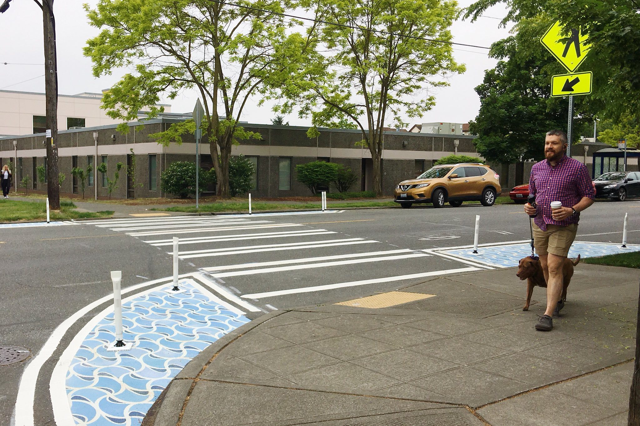
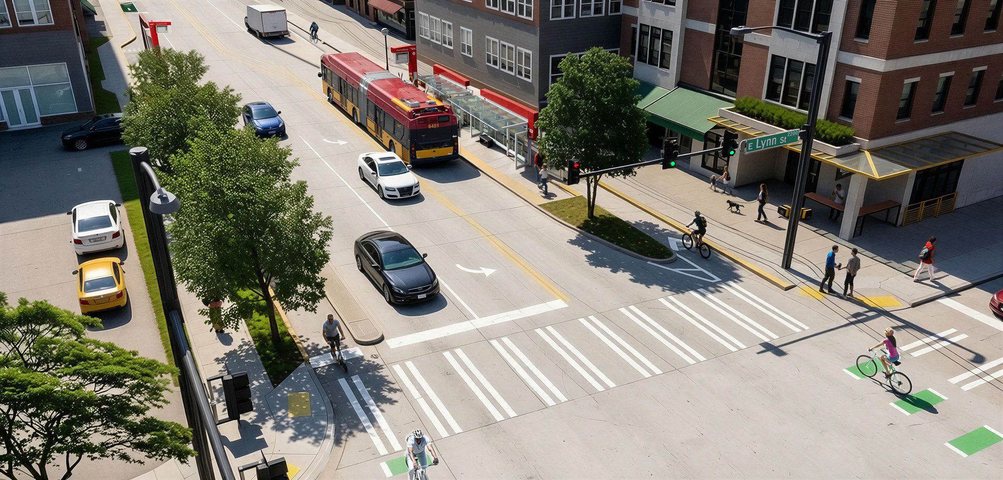
For example, we regularly install more “intersection daylighting” features across the city to support safer travel and help reduce crashes. Daylighting shows people where they should not park their car near intersections, helping to avoid blocked views of people walking, biking, or rolling across the street, or driving from another direction.
While it’s already illegal to park right next to a crosswalk under state and local laws, things like curb bulbs (a wider sidewalk at a corner), bike corrals, and no parking signs help make this clearer and easier to follow. This work compliments other efforts underway like expanding pedestrian head start signals and no turn on red signs at intersections across Seattle.
Climate and Electrification Upgrades
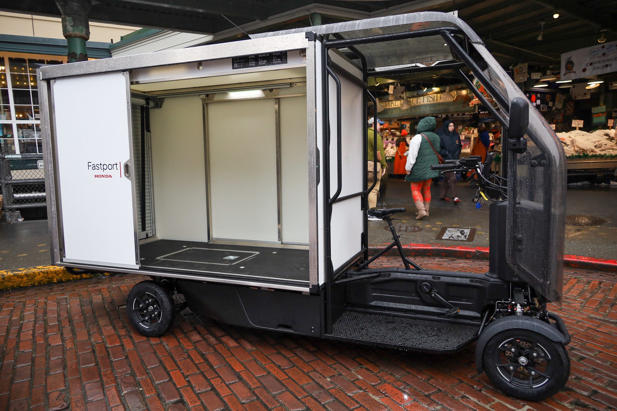
The future is bright for our city, and we’re energized to continue rolling out programs and projects to support climate resilience and sustainable travel. Guided by our Climate Change Response Framework, we’re supporting many efforts like our Commercial E-Cargo Bike Program which encourages companies to make greener goods deliveries with new, more efficient permits now available.
Other efforts like Low Pollution Neighborhoods (areas where we’re piloting projects that reduce pollution and make streets healthier, cooler, and safer) are just kicking off with planning and community engagement taking place this fall. And there’s much more ahead as outlined in the Seattle Transportation Plan, Seattle’s 20-year vision for the future of transportation in our city.
Many of these programs and initiatives are funded by the voter-approved Seattle Transportation Levy.
Major Project Milestones
This summer, we reached a major milestone on the RapidRide J Line project, which is now over halfway complete, a big step forward toward the launch of the J Line service. The project also transforms neighborhoods including Eastlake, South Lake Union, and the U District, including expanded sidewalks and crosswalks, repaved streets, better lighting, new protected bike lanes, and more.
Meanwhile, we’re nearing completion on the Route 40 Project and engaging communities on the future of streets like Aurora Ave N, which includes a newly formed Community Advisory Committee to help guide our ongoing work for you.
As we move into fall, it’s an important time to keep an eye out for one another, no matter how you travel. We appreciate your dedication to keeping everyone safe while using the city’s growing mix of transportation options. Thank you.
Legal Disclaimer:
EIN Presswire provides this news content "as is" without warranty of any kind. We do not accept any responsibility or liability for the accuracy, content, images, videos, licenses, completeness, legality, or reliability of the information contained in this article. If you have any complaints or copyright issues related to this article, kindly contact the author above.
